
Original Historical World War I Map of German Empire (Deutsches Reich) For Sale
When you click on links to various merchants on this site and make a purchase, this can result in this site earning a commission. Affiliate programs and affiliations include, but are not limited to, the eBay Partner Network.

Original Historical World War I Map of German Empire (Deutsches Reich):
$36.00
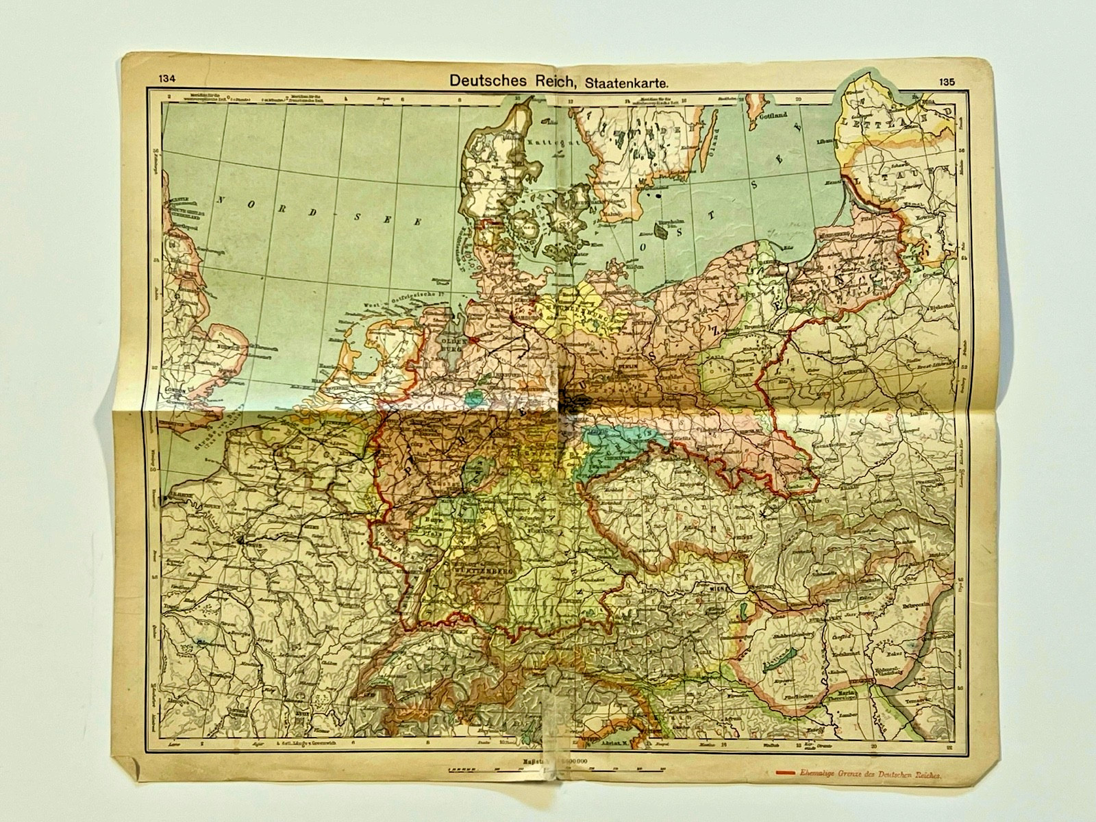
The product is an original historical World War I map of the German Empire (Deutsches Reich). This collectible item from the United States features detailed military information related to the conflict, making it a valuable piece of militaria memorabilia. Measures: 16 inches wide x 13 1/2 inches tall. Double sided. See all photographs and details as No Returns. With its origin in the United States and specific region of manufacture, this map offers a unique glimpse into the history of World War I and the military strategies employed by the German Empire during this tumultuous period. The map shows the territorial extent of the empire, which existed from the unification of Germany in 1871 until the end of World War I in 1918. - The German Empire was a key power in Europe and included not only modern-day Germany but also parts of present-day Poland and France
- The empire was made up of 25 states, including four kingdoms, six grand duchies, and several other principalities and free cities.
- The map also indicates the \"Ehemalige Grenze des Deutschen Reiches,\" or \"former border of the German Empire
|
Other Related Items:
Related Items:
OLD NEWSPAPER FROM 1700s - Stock Prices, Historical Events, Trade, Economy, Wars $69.99

1926 Sesqui-Centennial Philadelphia PA Soldier 1776 John D Cardinell $19.97

Hessy Levinsons Taft autograph 4x6 photo WW II German Propaganda RARE COA LOOK $99.99
|